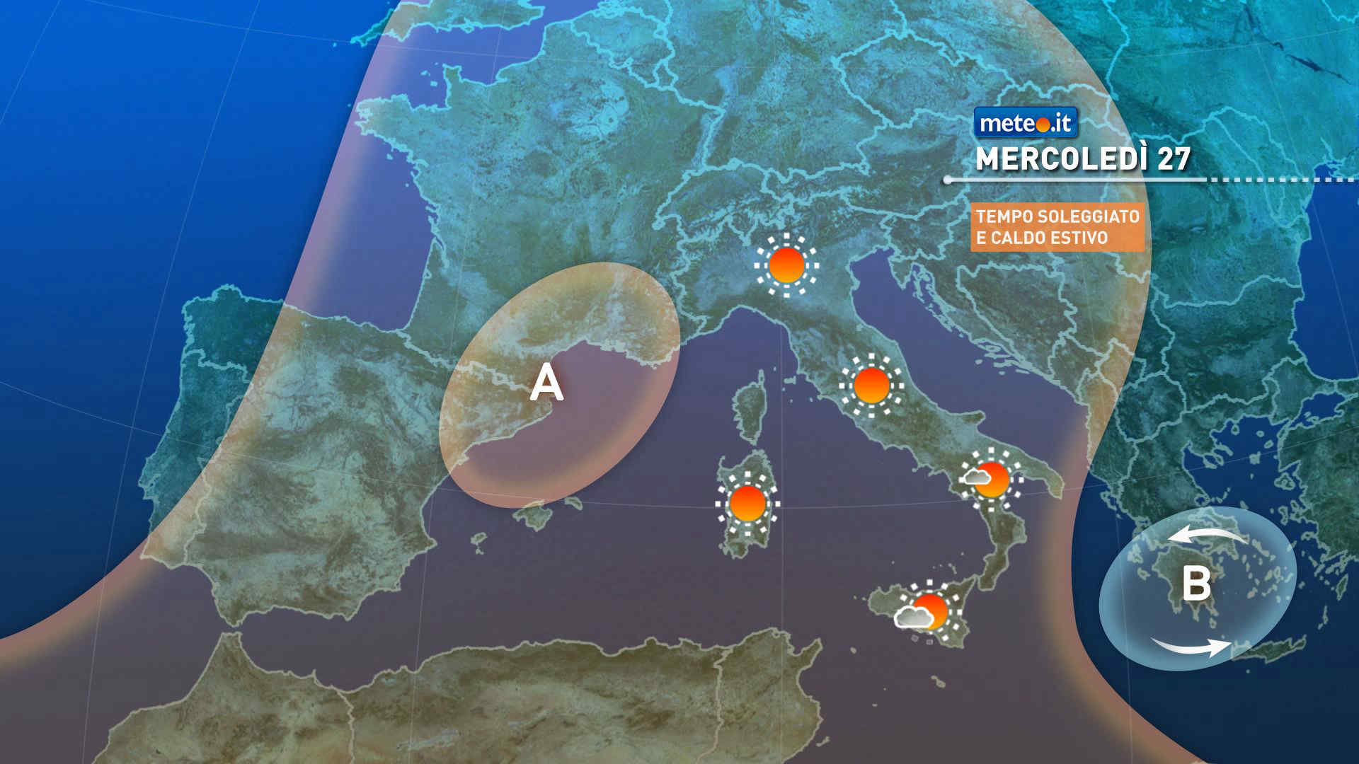
Al mattino cielo sereno o poco nuvoloso. Temperature minime in leggero aumento. Nel pomeriggio tempo prevalentemente soleggiato e caldo; nelle zone montuose aumento della nuvolosita' cumuliforme; in Trentino brevi e isolati temporali di calore non esclusi. Temperature massime stabili o in leggero rialzo. Venti deboli, a regime di brezza. Mare Adriatico calmo o poco mosso.
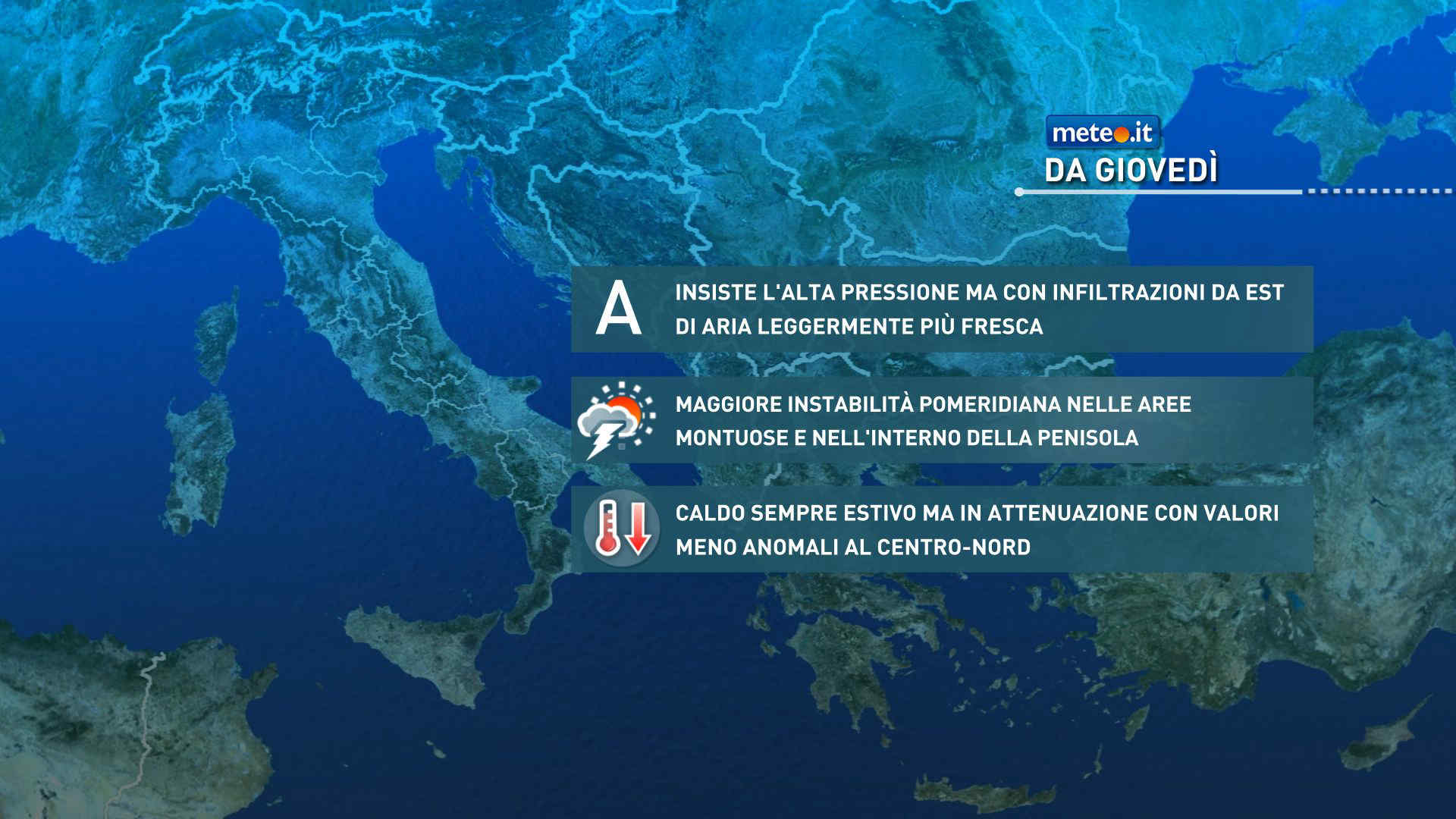
Meteo, dal 29 maggio lieve calo termico e instabilità in aumento: la tendenza
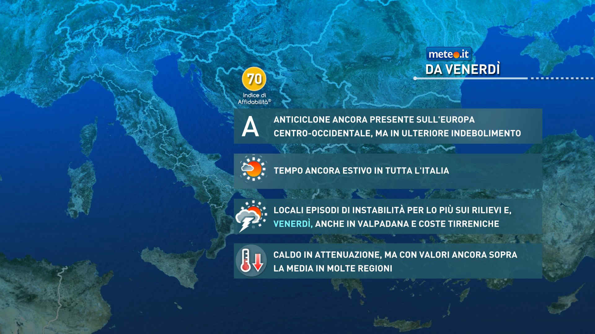
Si smorza leggermente l'eccezionale ondata di caldo in corso a partire da venerdì: temperature sopra la norma e caldo da piena estate con temporali. La tendenza meteo
Meteo, lieve attenuazione del caldo tra il 28 e il 29 maggio: la tendenza
Nell'ultima parte della settimana si attenua un poco l'ondata di caldo a causa dell'indebolimento dell'Anticiclone nord-africano. Temperature comunque sopra la norma. La tendenza meteo


 0
0 83%
83% 15-21 Km/h
 Nord NO
 7
7 Nord O
 54%
54% Sud E
Sud E Nord NO