FacebookInstagramXWhatsApp

Meteo Santo Stefano Quisquina tra 7 giorni. Previsioni del tempo, precipitazioni, temperatura e venti

FacebookWhatsappXTelegram

Santo Stefano Quisquina
Vento al pomeriggio
06:32
19:41
Luna piena
Notte
sereno notte
Mattino
soleggiato
Pomeriggio
prevalentemente soleggiato
Sera
poco nuvoloso
  • 36°

    UV Normale 0

    ore

    sereno notte

    Umidità normale38%

    Raffiche normali7-16 Km/h

    OvestOvest

  • 35°

    UV Normale 0

    ore

    sereno notte

    Umidità normale38%

    Raffiche normali7-15 Km/h

    Ovest nord ovestOvest NO

  • 35°

    UV Normale 0

    ore

    sereno notte

    Umidità normale38%

    Raffiche normali7-14 Km/h

    Ovest nord ovestOvest NO

  • 35°

    UV Normale 0

    ore

    sereno notte

    Umidità normale39%

    Raffiche normali7-13 Km/h

    Ovest nord ovestOvest NO

  • 35°

    UV Normale 0

    ore

    sereno notte

    Umidità normale39%

    Raffiche normali8-15 Km/h

    Ovest nord ovestOvest NO

  • 35°

    UV Normale 0

    ore

    sereno notte

    Umidità normale37%

    Raffiche normali8-16 Km/h

    Ovest nord ovestOvest NO

  • 35°

    UV Normale 1

    ore

    soleggiato

    Umidità normale35%

    Raffiche normali9-17 Km/h

    Ovest nord ovestOvest NO

  • 35°

    UV Normale 2

    ore

    soleggiato

    Umidità normale34%

    Raffiche forti9-19 Km/h

    Ovest nord ovest intensoOvest NO

  • 35°

    UV Normale 4

    ore

    soleggiato

    Umidità normale32%

    Raffiche forti9-20 Km/h

    Ovest nord ovest intensoOvest NO

  • 35°

    UV Normale 5

    ore

    soleggiato

    Umidità normale30%

    Raffiche forti10-21 Km/h

    Ovest nord ovest intensoOvest NO

  • 35°

    UV Elevato 6

    ore

    soleggiato

    Umidità normale31%

    Raffiche forti12-23 Km/h

    Ovest nord ovest intensoOvest NO

  • 36°

    UV Elevato 7

    ore

    soleggiato

    Umidità normale33%

    Raffiche forti14-24 Km/h

    Ovest intensoOvest

  • 36°

    UV Elevato 9

    ore

    soleggiato

    Umidità normale34%

    Raffiche forti16-26 Km/h

    Ovest intensoOvest

  • 36°

    UV Elevato 10

    ore

    soleggiato

    Umidità normale35%

    Raffiche forti19-27 Km/h

    Ovest sud ovest intensoOvest SO

  • 37°

    UV Elevato 9

    ore

    prevalentemente soleggiato

    Umidità normale37%

    Raffiche forti21-29 Km/h

    Ovest sud ovest intensoOvest SO

  • 37°

    UV Elevato 7

    ore

    prevalentemente soleggiato

    Umidità normale38%

    Raffiche forti23-30 Km/h

    Sud ovest intensoSud O

  • 37°

    UV Elevato 6

    ore

    prevalentemente soleggiato

    Umidità normale40%

    Raffiche forti22-30 Km/h

    Ovest sud ovest intensoOvest SO

  • 36°

    UV Normale 4

    ore

    prevalentemente soleggiato

    Umidità normale42%

    Raffiche forti20-30 Km/h

    Ovest sud ovest intensoOvest SO

  • 36°

    UV Normale 3

    ore

    prevalentemente soleggiato

    Umidità normale45%

    Raffiche forti19-30 Km/h

    Ovest intensoOvest

  • 36°

    UV Normale 1

    ore

    prevalentemente soleggiato

    Umidità normale47%

    Raffiche forti18-30 Km/h

    Ovest intensoOvest

  • 35°

    UV Normale 0

    ore

    poco nuvoloso

    Umidità normale49%

    Raffiche forti16-30 Km/h

    Ovest nord ovest intensoOvest NO

  • 35°

    UV Normale 0

    ore

    poco nuvoloso

    Umidità normale51%

    Raffiche forti15-30 Km/h

    Ovest nord ovest intensoOvest NO

  • 34°

    UV Normale 0

    ore

    poco nuvoloso

    Umidità normale49%

    Raffiche forti14-29 Km/h

    Ovest nord ovest intensoOvest NO

  • 33°

    UV Normale 0

    ore

    poco nuvoloso

    Umidità normale48%

    Raffiche forti14-27 Km/h

    Ovest nord ovest intensoOvest NO

  • 35°

    UV Normale 0

    ore

    poco nuvoloso

    Umidità normale45%

    Raffiche forti13-26 Km/h

    Ovest nord ovest intensoOvest NO

Meteo provincia di Agrigento
Meteo Sicilia Italia
Oggi

Al mattino cielo sereno o poco nuvoloso. Temperature minime quasi stazionarie. Nel pomeriggio tempo generalmente soleggiato e molto caldo, salvo velature passeggere. Temperature massime in lieve aumento, fino a 37-38 gradi nell'entroterra. Venti a prevalente regime di brezza. Mari calmi o poco mossi.

Ultime newsVedi tutte


Meteo, 23-24 agosto stabili poi possibile perturbazione: la tendenza
Tendenza20 Agosto 2026
Meteo, 23-24 agosto stabili poi possibile perturbazione: la tendenza
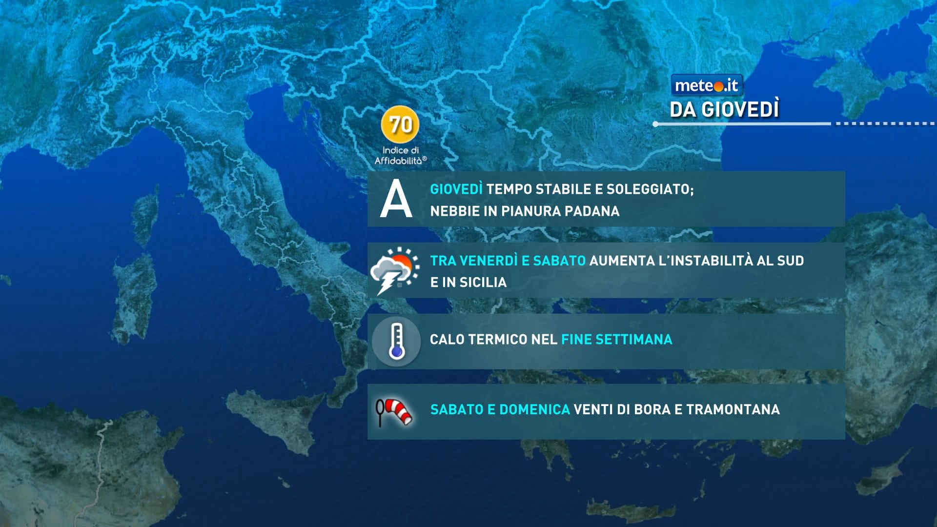
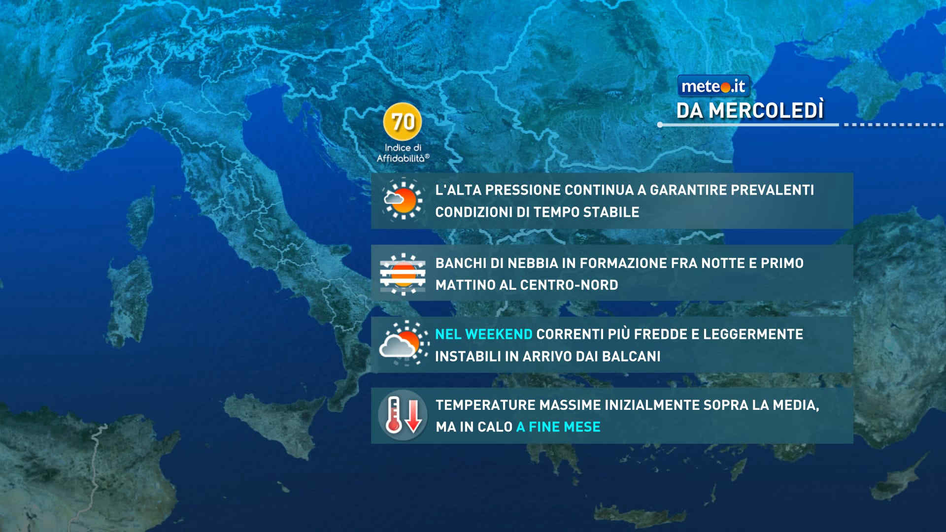
La tendenza meteo resta incerta: caldo molto intenso al Sud e Isole con valori vicino ai 40 gradi. Martedì possibile perturbazione al Nord e parte del Centro
Meteo, weekend rovente al Centro-sud, fino a 40 gradi sulle Isole
Tendenza19 Agosto 2026
Meteo, weekend rovente al Centro-sud, fino a 40 gradi sulle Isole
Nel weekend del 22-23 agosto l'Italia resterà divisa in due con tempo instabile al Nord e ancora molto caldo altrove. La tendenza meteo
Meteo, Italia divisa con caldo intenso al Sud e temporali al Centro-nord: la tendenza
Tendenza18 Agosto 2026
Meteo, Italia divisa con caldo intenso al Sud e temporali al Centro-nord: la tendenza
Prosegue, dopo una lievissima tregua, il caldo intenso e afoso al Sud. Più instabile al Centro-nord con temporali anche forti. La tendenza meteo dal 21 agosto
Mediaset

Ultimo aggiornamento Venerdì 21 Agosto ore 01:17

Copyright © 1999-2020 RTI S.p.A. Direzione Business Digital - P.Iva 03976881007 - Tutti i diritti riservati.

Rispetto ai contenuti e ai dati personali trasmessi e/o riprodotti è vietata ogni utilizzazione funzionale all'addestramento di sistemi di intelligenza artificiale generativa. È altresì fatto divieto espresso di utilizzare mezzi automatizzati di data scraping.

Per la pubblicità Mediamond S.p.a. RTI spa, Gruppo Mediaset - Sede legale: 00187 Roma Largo del Nazareno 8 - Cap. Soc. € 500.000.007,00 int. vers. - Registro delle Imprese di Roma, C.F.06921720154