FacebookInstagramXWhatsApp

Meteo Siamanna tra 4 giorni. Previsioni del tempo, precipitazioni, temperatura e venti

FacebookWhatsappXTelegram

Siamanna
05:59
20:46
Gibbosa crescente
Notte
sereno notte
Mattino
soleggiato
Pomeriggio
soleggiato
Sera
sereno notte
  • 20°

    UV Normale 0

    ore

    sereno notte

    Umidità normale61%

    Raffiche normali6-14 Km/h

    SudSud

  • 19°

    UV Normale 0

    ore

    sereno notte

    Umidità normale62%

    Raffiche normali6-12 Km/h

    Sud sud estSud SE

  • 18°

    UV Normale 0

    ore

    sereno notte

    Umidità normale63%

    Raffiche normali5-11 Km/h

    Sud sud estSud SE

  • 18°

    UV Normale 0

    ore

    sereno notte

    Umidità normale64%

    Raffiche normali5-9 Km/h

    Est sud estEst SE

  • 17°

    UV Normale 0

    ore

    sereno notte

    Umidità normale65%

    Raffiche normali5-9 Km/h

    Est sud estEst SE

  • 16°

    UV Normale 1

    ore

    soleggiato

    Umidità normale66%

    Raffiche normali5-9 Km/h

    Est sud estEst SE

  • 18°

    UV Normale 2

    ore

    soleggiato

    Umidità normale62%

    Raffiche normali5-10 Km/h

    Est sud estEst SE

  • 19°

    UV Normale 3

    ore

    soleggiato

    Umidità normale58%

    Raffiche normali5-10 Km/h

    Est sud estEst SE

  • 21°

    UV Normale 4

    ore

    soleggiato

    Umidità normale53%

    Raffiche normali5-10 Km/h

    Sud estSud E

  • 22°

    UV Elevato 6

    ore

    soleggiato

    Umidità normale49%

    Raffiche normali5-10 Km/h

    Sud estSud E

  • 23°

    UV Elevato 7

    ore

    soleggiato

    Umidità normale47%

    Raffiche normali7-12 Km/h

    Sud estSud E

  • 24°

    UV Elevato 8

    ore

    soleggiato

    Umidità normale45%

    Raffiche normali9-15 Km/h

    Sud sud estSud SE

  • 26°

    UV Elevato 9

    ore

    soleggiato

    Umidità normale43%

    Raffiche normali11-17 Km/h

    Sud sud ovestSud SO

  • 27°

    UV Elevato 10

    ore

    soleggiato

    Umidità normale40%

    Raffiche forti13-20 Km/h

    Sud sud ovest intensoSud SO

  • 28°

    UV Elevato 9

    ore

    soleggiato

    Umidità normale38%

    Raffiche forti15-22 Km/h

    Sud ovest intensoSud O

  • 29°

    UV Elevato 7

    ore

    soleggiato

    Umidità normale36%

    Raffiche forti17-25 Km/h

    Ovest sud ovest intensoOvest SO

  • 28°

    UV Elevato 6

    ore

    soleggiato

    Umidità normale41%

    Raffiche forti15-24 Km/h

    Ovest sud ovest intensoOvest SO

  • 26°

    UV Normale 5

    ore

    soleggiato

    Umidità normale46%

    Raffiche forti14-22 Km/h

    Ovest sud ovest intensoOvest SO

  • 25°

    UV Normale 4

    ore

    soleggiato

    Umidità normale51%

    Raffiche forti12-21 Km/h

    Ovest sud ovest intensoOvest SO

  • 24°

    UV Normale 2

    ore

    soleggiato

    Umidità normale56%

    Raffiche forti11-20 Km/h

    Ovest sud ovest intensoOvest SO

  • 22°

    UV Normale 1

    ore

    soleggiato

    Umidità normale61%

    Raffiche forti9-19 Km/h

    Ovest sud ovest intensoOvest SO

  • 21°

    UV Normale 0

    ore

    sereno notte

    Umidità normale66%

    Raffiche normali8-18 Km/h

    Ovest sud ovestOvest SO

  • 21°

    UV Normale 0

    ore

    sereno notte

    Umidità normale68%

    Raffiche normali7-17 Km/h

    Sud ovestSud O

  • 20°

    UV Normale 0

    ore

    sereno notte

    Umidità normale70%

    Raffiche normali7-16 Km/h

    Sud sud ovestSud SO

  • 19°

    UV Normale 0

    ore

    sereno notte

    Umidità alta73%

    Raffiche normali6-14 Km/h

    SudSud

Meteo provincia di Oristano
Meteo Sardegna Italia
Oggi

Al mattino cielo in prevalenza sereno. Temperature minime stazionarie o in leggero rialzo. Nel pomeriggio tempo stabile e generalmente soleggiato. Temperature massime senza grosse variazioni. Venti in prevalenza deboli, a regime di brezza. Mari calmi o poco mossi.

Ultime newsVedi tutte


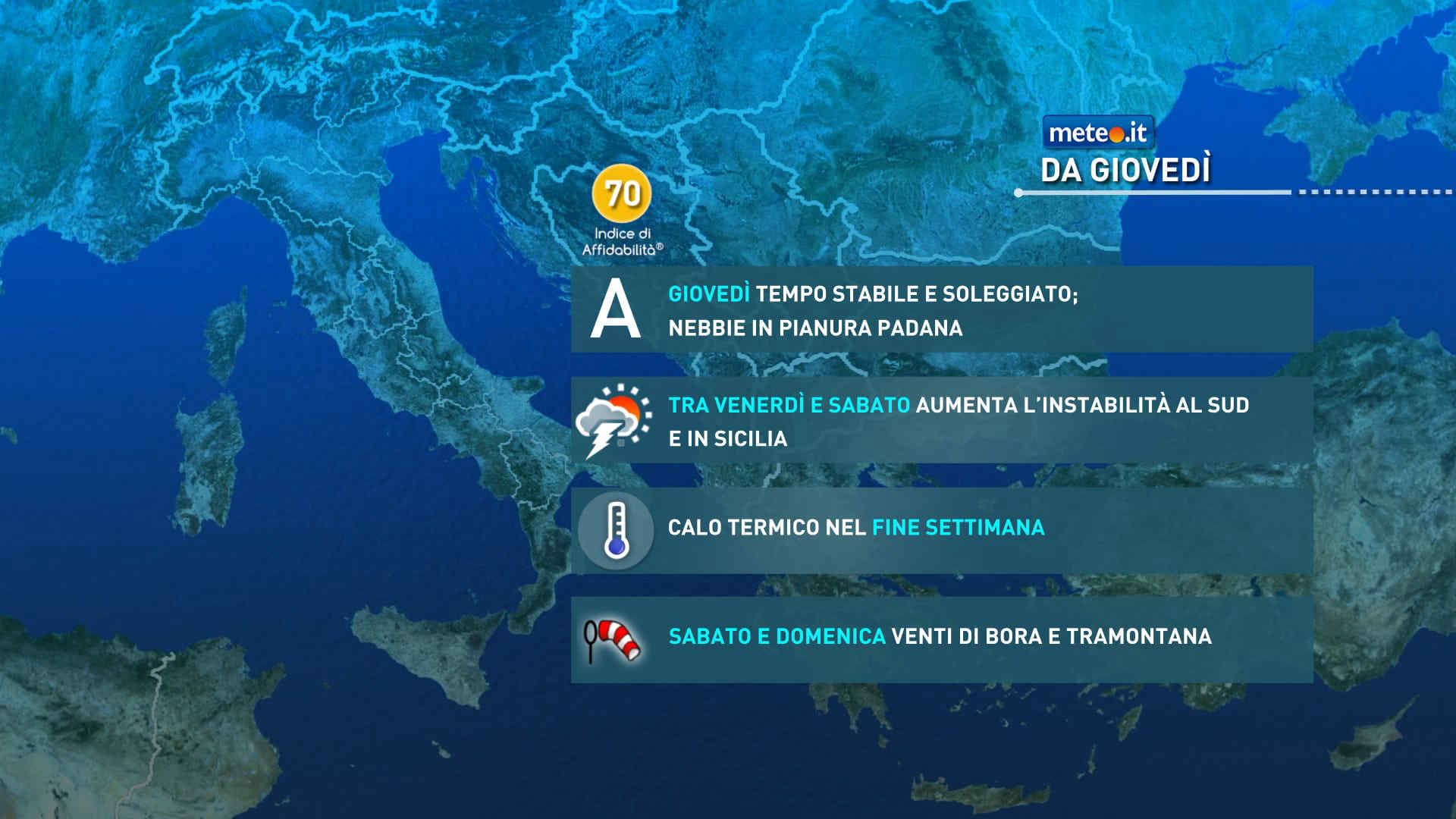
Meteo, dal 29 maggio lieve calo termico e instabilità in aumento: la tendenza
Tendenza26 Maggio 2026
Meteo, dal 29 maggio lieve calo termico e instabilità in aumento: la tendenza
Si smorza leggermente l'eccezionale ondata di caldo in corso a partire da venerdì: temperature sopra la norma e caldo da piena estate con temporali. La tendenza meteo
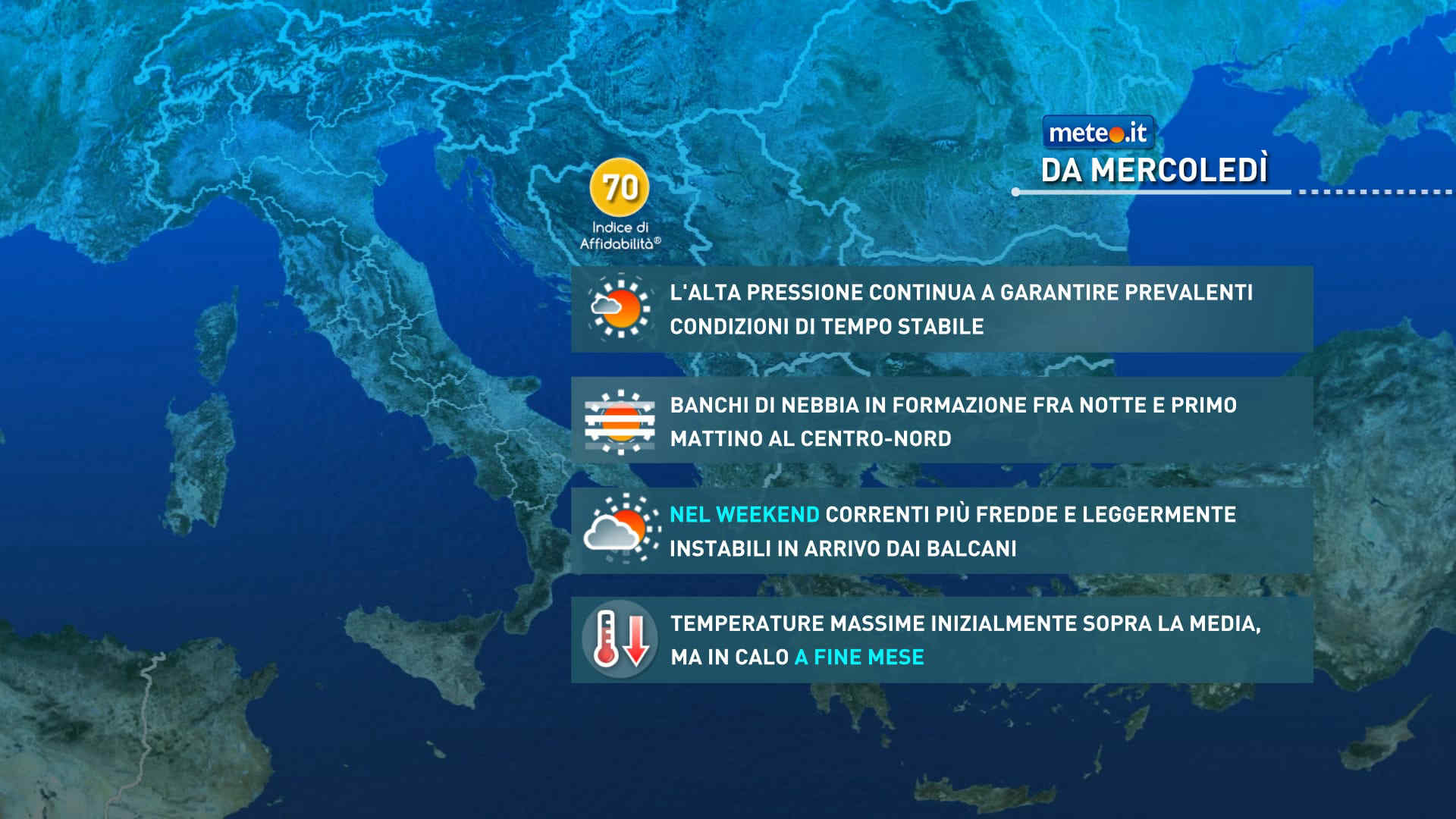
Meteo, lieve attenuazione del caldo tra il 28 e il 29 maggio: la tendenza
Tendenza25 Maggio 2026
Meteo, lieve attenuazione del caldo tra il 28 e il 29 maggio: la tendenza
Nell'ultima parte della settimana si attenua un poco l'ondata di caldo a causa dell'indebolimento dell'Anticiclone nord-africano. Temperature comunque sopra la norma. La tendenza meteo
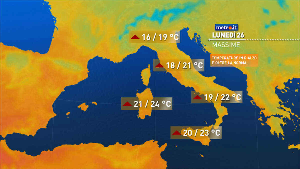
Meteo: mercoledì 27 temperature fino a 35°C! Poi cambia qualcosa: la tendenza
Tendenza24 Maggio 2026
Meteo: mercoledì 27 temperature fino a 35°C! Poi cambia qualcosa: la tendenza
La tendenza meteo da mercoledì 27 maggio segnala l'apice del caldo anomalo con picchi di 35 gradi mentre da giovedì 28 aumenta l'instabilità.
Mediaset

Ultimo aggiornamento Martedì 26 Maggio ore 18:25

Copyright © 1999-2020 RTI S.p.A. Direzione Business Digital - P.Iva 03976881007 - Tutti i diritti riservati.

Rispetto ai contenuti e ai dati personali trasmessi e/o riprodotti è vietata ogni utilizzazione funzionale all'addestramento di sistemi di intelligenza artificiale generativa. È altresì fatto divieto espresso di utilizzare mezzi automatizzati di data scraping.

Per la pubblicità Mediamond S.p.a. RTI spa, Gruppo Mediaset - Sede legale: 00187 Roma Largo del Nazareno 8 - Cap. Soc. € 500.000.007,00 int. vers. - Registro delle Imprese di Roma, C.F.06921720154