FacebookInstagramXWhatsApp

Meteo Portopalo di Capo Passero tra 6 giorni. Previsioni del tempo, precipitazioni, temperatura e venti

FacebookWhatsappXTelegram

Portopalo di Capo Passero
Giornata ventosa
06:28
19:30
Gibbosa calante
Notte
sereno notte
Mattino
soleggiato
Pomeriggio
soleggiato
Sera
sereno notte
  • 33°

    UV Normale 0

    ore

    sereno notte

    Umidità normale68%

    Raffiche forti15-28 Km/h

    Ovest intensoOvest

  • 34°

    UV Normale 0

    ore

    sereno notte

    Umidità normale69%

    Raffiche forti14-27 Km/h

    Ovest intensoOvest

  • 34°

    UV Normale 0

    ore

    sereno notte

    Umidità normale69%

    Raffiche forti13-26 Km/h

    Ovest intensoOvest

  • 35°

    UV Normale 0

    ore

    sereno notte

    Umidità normale70%

    Raffiche forti12-24 Km/h

    Ovest sud ovest intensoOvest SO

  • 36°

    UV Normale 0

    ore

    sereno notte

    Umidità normale70%

    Raffiche forti14-26 Km/h

    Ovest sud ovest intensoOvest SO

  • 36°

    UV Normale 0

    ore

    sereno notte

    Umidità alta71%

    Raffiche forti15-27 Km/h

    Ovest sud ovest intensoOvest SO

  • 37°

    UV Normale 1

    ore

    soleggiato

    Umidità alta71%

    Raffiche forti16-28 Km/h

    Ovest sud ovest intensoOvest SO

  • 38°

    UV Normale 2

    ore

    soleggiato

    Umidità normale63%

    Raffiche forti17-29 Km/h

    Ovest sud ovest intensoOvest SO

  • 39°

    UV Normale 3

    ore

    soleggiato

    Umidità normale56%

    Raffiche forti18-30 Km/h

    Ovest sud ovest intensoOvest SO

  • 40°

    UV Normale 4

    ore

    soleggiato

    Umidità normale48%

    Raffiche forti19-31 Km/h

    Ovest sud ovest intensoOvest SO

  • 40°

    UV Elevato 6

    ore

    soleggiato

    Umidità normale45%

    Raffiche forti20-33 Km/h

    Ovest sud ovest intensoOvest SO

  • 41°

    UV Elevato 7

    ore

    soleggiato

    Umidità normale41%

    Raffiche forti22-34 Km/h

    Ovest sud ovest intensoOvest SO

  • 41°

    UV Elevato 8

    ore

    soleggiato

    Umidità normale38%

    Raffiche forti23-35 Km/h

    Ovest sud ovest intensoOvest SO

  • 42°

    UV Elevato 9

    ore

    soleggiato

    Umidità normale35%

    Raffiche forti24-37 Km/h

    Ovest sud ovest intensoOvest SO

  • 42°

    UV Elevato 8

    ore

    soleggiato

    Umidità normale32%

    Raffiche forti26-38 Km/h

    Ovest intensoOvest

  • 43°

    UV Elevato 6

    ore

    soleggiato

    Umidità normale28%

    Raffiche forti27-39 Km/h

    Ovest intensoOvest

  • 43°

    UV Normale 5

    ore

    soleggiato

    Umidità normale25%

    Raffiche forti26-40 Km/h

    Ovest intensoOvest

  • 43°

    UV Normale 4

    ore

    soleggiato

    Umidità normale35%

    Raffiche forti25-41 Km/h

    Ovest intensoOvest

  • 43°

    UV Normale 2

    ore

    soleggiato

    Umidità normale46%

    Raffiche forti24-41 Km/h

    Ovest intensoOvest

  • 42°

    UV Normale 1

    ore

    soleggiato

    Umidità normale56%

    Raffiche forti23-42 Km/h

    Ovest intensoOvest

  • 42°

    UV Normale 0

    ore

    sereno notte

    Umidità normale67%

    Raffiche forti22-43 Km/h

    Ovest intensoOvest

  • 42°

    UV Normale 0

    ore

    sereno notte

    Umidità alta77%

    Raffiche forti21-44 Km/h

    Ovest intensoOvest

  • 40°

    UV Normale 0

    ore

    sereno notte

    Umidità alta77%

    Raffiche forti19-39 Km/h

    Ovest intensoOvest

  • 38°

    UV Normale 0

    ore

    sereno notte

    Umidità alta76%

    Raffiche forti16-34 Km/h

    Ovest nord ovest intensoOvest NO

  • 40°

    UV Normale 0

    ore

    sereno notte

    Umidità alta76%

    Raffiche forti14-30 Km/h

    Nord nord ovest intensoNord NO

Meteo Mare Portopalo di Capo Passero

Meteo provincia di Siracusa
Meteo Sicilia Italia
Oggi

Al mattino cielo in prevalenza sereno. Temperature minime senza grosse variazioni. Nel pomeriggio tempo prevalentemente soleggiato e molto caldo. Temperature massime in leggero aumento, fin verso 38-39 gradi. Venti in prevalenza deboli e a regime di brezza. Mari poco mossi o calmi.

Ultime newsVedi tutte


Meteo: fine agosto con intensa fiammata africana! Picchi fino a 46 gradi
Tendenza23 Agosto 2026
Meteo: fine agosto con intensa fiammata africana! Picchi fino a 46 gradi
La tendenza meteo per la fine del mese vede un'intensificazione estrema del caldo sulle regioni meridionali, soprattutto tra 27 e 29 agosto.
Meteo, nuova ondata di caldo in vista con valori verso i 40°C: la tendenza
Tendenza22 Agosto 2026
Meteo, nuova ondata di caldo in vista con valori verso i 40°C: la tendenza
Si rinforza l'Anticiclone africano, soprattuto al Centro-sud e Isole con caldo in intensificazione. Fase instabile al Nord tra martedì 25 e mercoledì 26 agosto. La tendenza meteo
Meteo, Italia tra caldo intenso e qualche episodio instabile: la tendenza dal 24-25 agosto
Tendenza21 Agosto 2026
Meteo, Italia tra caldo intenso e qualche episodio instabile: la tendenza dal 24-25 agosto
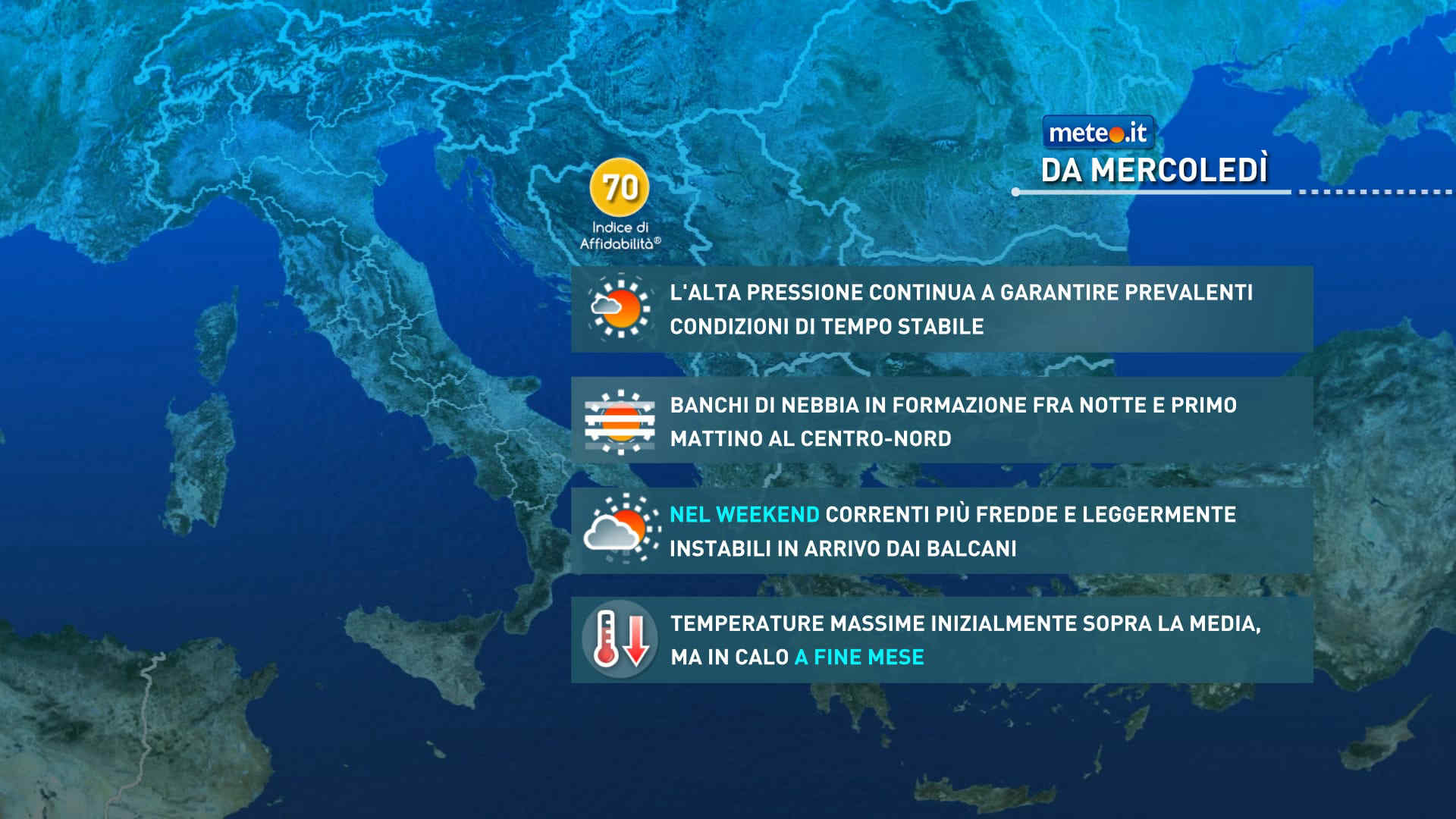
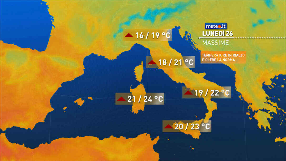
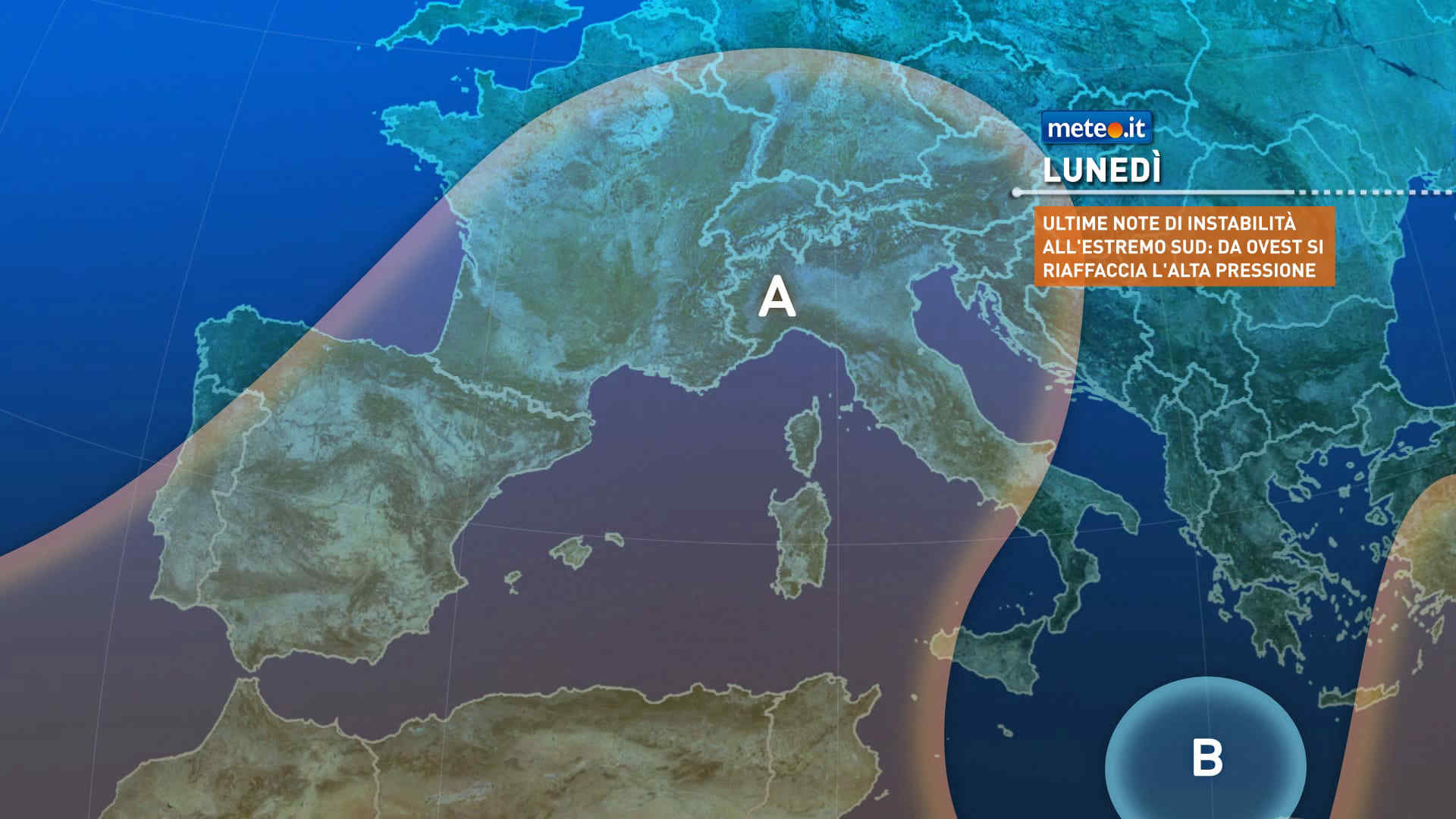
Lunedì tempo soleggiato sull'Italia poi martedì breve fase instabile al Nord. Temperature in aumento: fino a 40 gradi al Sud. Le previsioni meteo
Mediaset

Ultimo aggiornamento Lunedì 24 Agosto ore 01:55

Copyright © 1999-2020 RTI S.p.A. Direzione Business Digital - P.Iva 03976881007 - Tutti i diritti riservati.

Rispetto ai contenuti e ai dati personali trasmessi e/o riprodotti è vietata ogni utilizzazione funzionale all'addestramento di sistemi di intelligenza artificiale generativa. È altresì fatto divieto espresso di utilizzare mezzi automatizzati di data scraping.

Per la pubblicità Mediamond S.p.a. RTI spa, Gruppo Mediaset - Sede legale: 00187 Roma Largo del Nazareno 8 - Cap. Soc. € 500.000.007,00 int. vers. - Registro delle Imprese di Roma, C.F.06921720154