FacebookInstagramXWhatsApp

Meteo Capaccio Paestum tra 10 giorni. Previsioni del tempo, precipitazioni, temperatura e venti

FacebookWhatsappXTelegram

Capaccio Paestum
Notte
sereno notte
Mattino
soleggiato
Pomeriggio
soleggiato
Sera
sereno notte
  • 30°

    UV Normale 0

    ore

    sereno notte

    Umidità normale64%

    Raffiche normali6-10 Km/h

    Sud estSud E

  • 30°

    UV Normale 0

    ore

    sereno notte

    Umidità normale62%

    Raffiche normali6-10 Km/h

    Est sud estEst SE

  • 29°

    UV Normale 0

    ore

    sereno notte

    Umidità normale61%

    Raffiche normali6-10 Km/h

    Est sud estEst SE

  • 29°

    UV Normale 0

    ore

    sereno notte

    Umidità normale59%

    Raffiche normali6-10 Km/h

    Est sud estEst SE

  • 28°

    UV Normale 0

    ore

    sereno notte

    Umidità normale57%

    Raffiche normali6-10 Km/h

    Est sud estEst SE

  • 28°

    UV Normale 0

    ore

    sereno notte

    Umidità normale56%

    Raffiche normali6-11 Km/h

    Est sud estEst SE

  • 27°

    UV Normale 1

    ore

    soleggiato

    Umidità normale54%

    Raffiche normali6-11 Km/h

    Est sud estEst SE

  • 28°

    UV Normale 2

    ore

    soleggiato

    Umidità normale53%

    Raffiche normali6-12 Km/h

    Est sud estEst SE

  • 29°

    UV Normale 3

    ore

    soleggiato

    Umidità normale52%

    Raffiche normali6-12 Km/h

    Est sud estEst SE

  • 30°

    UV Normale 4

    ore

    soleggiato

    Umidità normale51%

    Raffiche normali6-12 Km/h

    Est sud estEst SE

  • 31°

    UV Normale 5

    ore

    soleggiato

    Umidità normale52%

    Raffiche normali8-14 Km/h

    Sud estSud E

  • 31°

    UV Elevato 6

    ore

    soleggiato

    Umidità normale53%

    Raffiche normali9-15 Km/h

    Sud sud estSud SE

  • 32°

    UV Elevato 7

    ore

    soleggiato

    Umidità normale54%

    Raffiche normali10-16 Km/h

    Sud sud ovestSud SO

  • 32°

    UV Elevato 8

    ore

    soleggiato

    Umidità normale55%

    Raffiche normali12-17 Km/h

    Sud sud ovestSud SO

  • 33°

    UV Elevato 7

    ore

    soleggiato

    Umidità normale56%

    Raffiche normali13-18 Km/h

    Sud ovestSud O

  • 33°

    UV Normale 5

    ore

    soleggiato

    Umidità normale57%

    Raffiche forti14-20 Km/h

    Ovest intensoOvest

  • 34°

    UV Normale 4

    ore

    soleggiato

    Umidità normale58%

    Raffiche normali13-19 Km/h

    Ovest nord ovestOvest NO

  • 34°

    UV Normale 2

    ore

    soleggiato

    Umidità normale61%

    Raffiche normali11-18 Km/h

    Nord ovestNord O

  • 33°

    UV Normale 1

    ore

    soleggiato

    Umidità normale64%

    Raffiche normali10-17 Km/h

    NordNord

  • 33°

    UV Normale 0

    ore

    sereno notte

    Umidità normale66%

    Raffiche normali9-16 Km/h

    Nord nord estNord NE

  • 32°

    UV Normale 0

    ore

    sereno notte

    Umidità normale69%

    Raffiche normali7-15 Km/h

    Nord nord estNord NE

  • 32°

    UV Normale 0

    ore

    sereno notte

    Umidità alta72%

    Raffiche normali6-14 Km/h

    Est nord estEst NE

  • 30°

    UV Normale 0

    ore

    sereno notte

    Umidità alta71%

    Raffiche normali7-15 Km/h

    Est nord estEst NE

  • 29°

    UV Normale 0

    ore

    sereno notte

    Umidità normale69%

    Raffiche normali9-17 Km/h

    EstEst

  • 28°

    UV Normale 0

    ore

    sereno notte

    Umidità normale61%

    Raffiche forti15-22 Km/h

    Est intensoEst

Meteo Mare Capaccio Paestum

Meteo provincia di Salerno
Meteo Sud Italia
Oggi

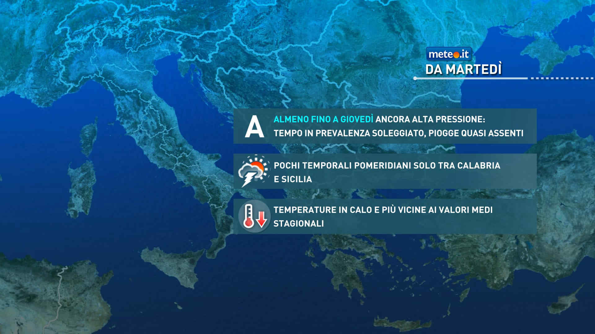
Al mattino cielo in prevalenza poco nuvoloso, salvo locali annuvolamenti lungo la costa adriatica. Temperature minime stazionarie o in leggero calo. Nel pomeriggio maggiore variabilita', con addensamenti soprattutto in Appennino e in Calabria: nel sud della regione, in Sila e in Aspromonte possibili locali rovesci o brevi temporali. Temperature massime in lieve aumento, oltre la norma, con valori per lo piu' tra 27 e 31 gradi. Venti: settentrionali, fino a moderati su Puglia e mari di levante. Mari: in prevalenza mossi l'Adriatico e, al largo, lo Ionio; calmi o poco mossi gli altri.

Ultime newsVedi tutte


Meteo, perturbazione in arrivo tra il 24 e il 25 settembre: la tendenza
Tendenza21 Settembre 2026
Meteo, perturbazione in arrivo tra il 24 e il 25 settembre: la tendenza
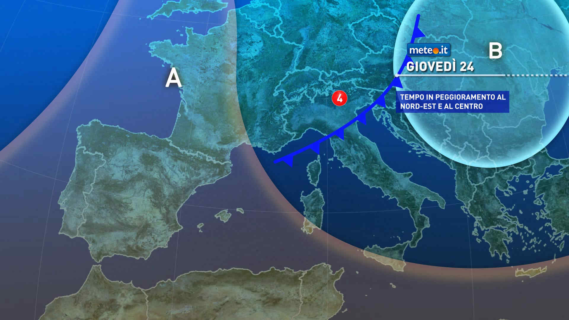
Rapida perturbazione su Nordest e Centro-sud con piogge, temporali e rinforzo dei venti. Temperature altalenanti. La tendenza meteo dal 24 settembre
Meteo, da metà settimana aria più fresca e valori più vicini alla norma ma durerà poco
Tendenza20 Settembre 2026
Meteo, da metà settimana aria più fresca e valori più vicini alla norma ma durerà poco
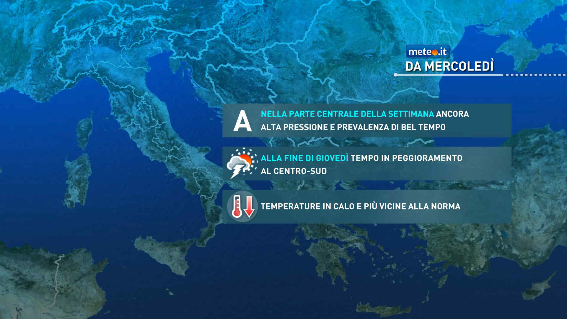
Si profila un calo delle temperature, più sensibile sulle regioni orientali. Tra giovedì e sabato fase instabile al Centro.sud. La tendenza meteo dal 23 settembre
Meteo, aria più fresca in arrivo: temperature vicine alla norma tra il 22 e il 23 settembre
Tendenza19 Settembre 2026
Meteo, aria più fresca in arrivo: temperature vicine alla norma tra il 22 e il 23 settembre
Dopo diversi giorni con caldo anomalo e valori estivi, le temperature caleranno di qualche grado e saranno più vicine alla media stagionale. La tendenza dal 22 settembre

Mediaset

Ultimo aggiornamento Lunedì 21 Settembre ore 22:53

Copyright © 1999-2020 RTI S.p.A. Direzione Business Digital - P.Iva 03976881007 - Tutti i diritti riservati.

Rispetto ai contenuti e ai dati personali trasmessi e/o riprodotti è vietata ogni utilizzazione funzionale all'addestramento di sistemi di intelligenza artificiale generativa. È altresì fatto divieto espresso di utilizzare mezzi automatizzati di data scraping.

Per la pubblicità Mediamond S.p.a. RTI spa, Gruppo Mediaset - Sede legale: 00187 Roma Largo del Nazareno 8 - Cap. Soc. € 500.000.007,00 int. vers. - Registro delle Imprese di Roma, C.F.06921720154