Al mattino tempo soleggiato con pochi annuvolamenti a ridosso delle Prealpi e in Trentino. Temperature minime in lieve aumento. Nel pomeriggio cielo in prevalenza sereno su pianure e coste. Temporaneo sviluppo di qualche cumulo innocuo a ridosso dei monti, piu' sviluppato lungo la fascia prealpina. Temperature massime stabili o in lieve aumento, fino ai 28-30 gradi. Venti deboli. Mare Adriatico calmo o poco mosso.
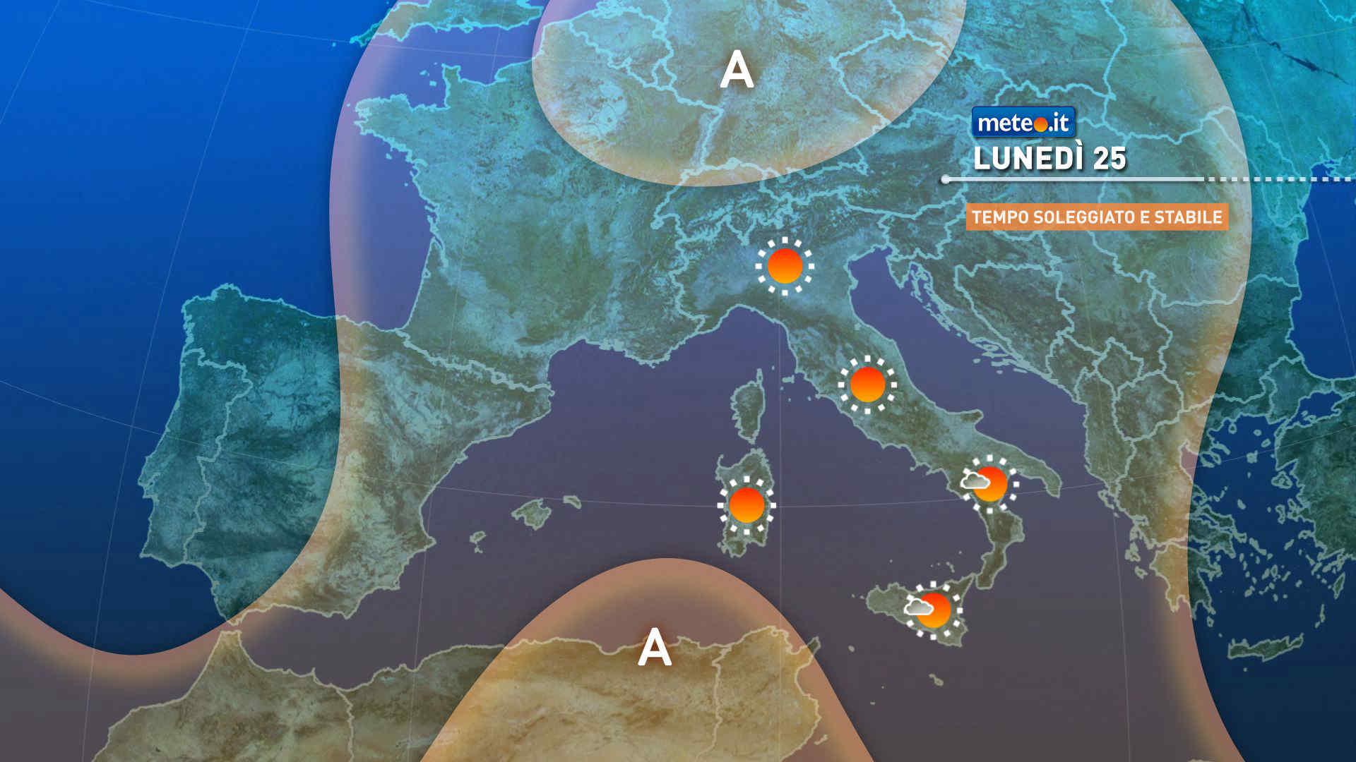
Meteo, inizio settimana con picchi di 33 gradi come a luglio: la tendenza
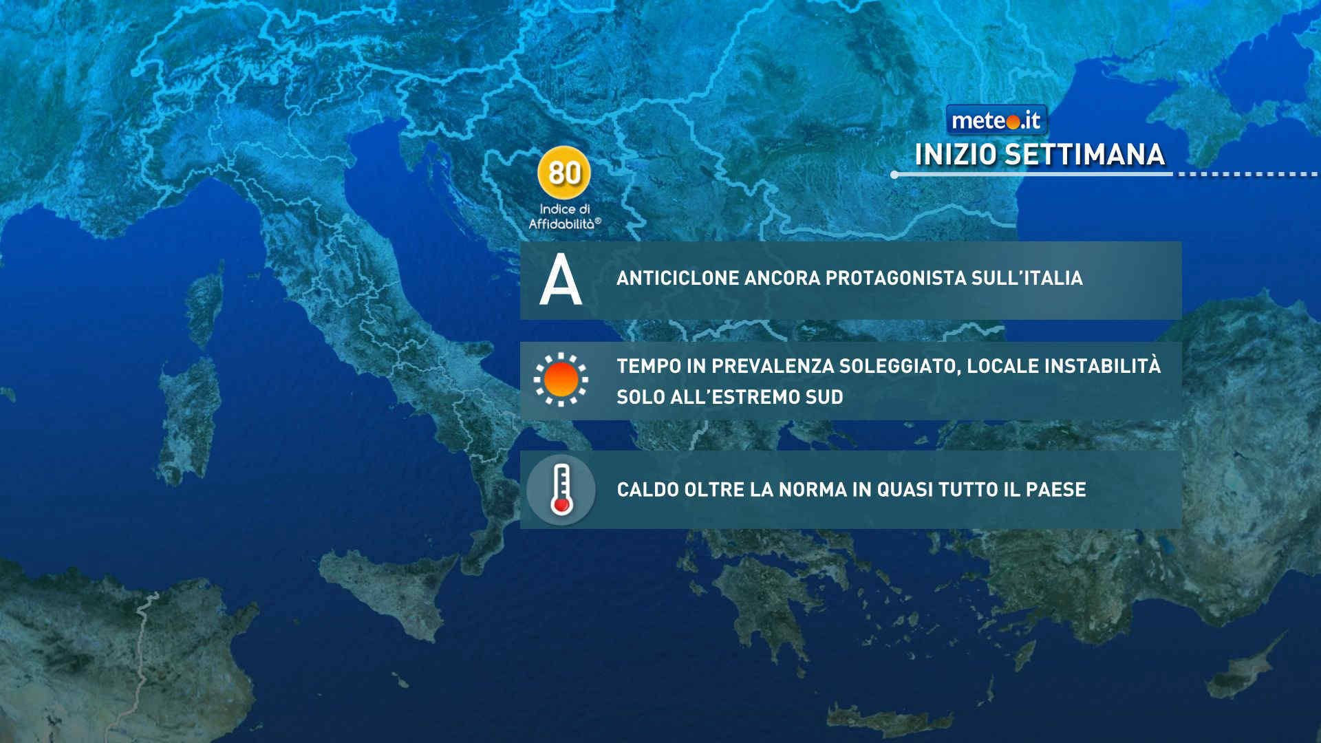
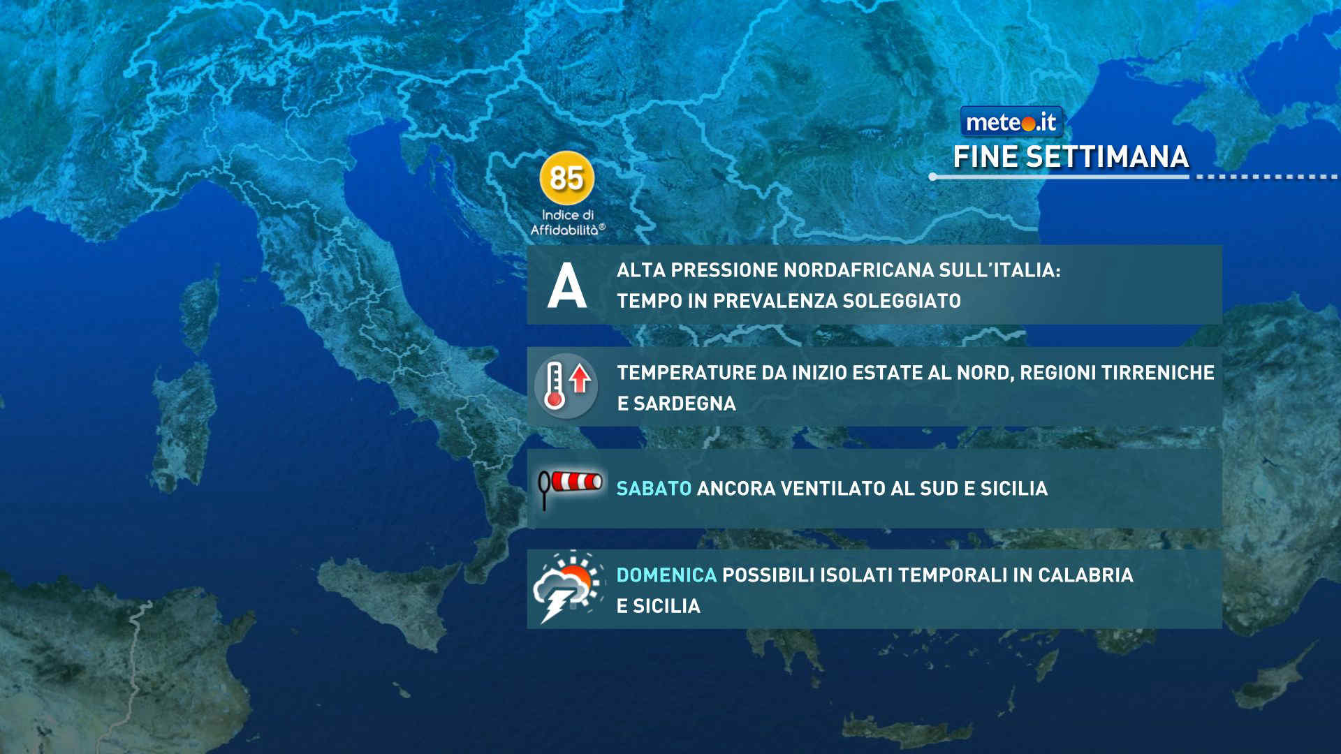
Anticiclone nord-africano protagonista anche per buona parte della prossima settimana. Possibili picchi fino a 33 gradi al Nord e in Toscana. La tendenza meteo


 0
0 54%
54% 9-17 Km/h
 Est SE
 Est
Est Est NE
 Est NE
 6
6 Est
Est Est SE
 Sud E
Sud E
 Nord E