FacebookInstagramXWhatsApp

Meteo Valgrana tra 9 giorni. Previsioni del tempo, precipitazioni, temperatura e venti

FacebookWhatsappXTelegram

Valgrana
Notte
sereno notte
Mattino
soleggiato
Pomeriggio
soleggiato
Sera
sereno notte
  • 18°

    UV Normale 0

    ore

    sereno notte

    Umidità normale43%

    Raffiche forti21-46 Km/h

    Sud ovest intensoSud O

  • 19°

    UV Normale 0

    ore

    sereno notte

    Umidità normale44%

    Raffiche forti20-44 Km/h

    Sud ovest intensoSud O

  • 19°

    UV Normale 0

    ore

    sereno notte

    Umidità normale44%

    Raffiche forti19-43 Km/h

    Sud ovest intensoSud O

  • 19°

    UV Normale 0

    ore

    sereno notte

    Umidità normale45%

    Raffiche forti19-42 Km/h

    Ovest sud ovest intensoOvest SO

  • 19°

    UV Normale 0

    ore

    sereno notte

    Umidità normale45%

    Raffiche forti18-39 Km/h

    Ovest sud ovest intensoOvest SO

  • 19°

    UV Normale 0

    ore

    sereno notte

    Umidità normale45%

    Raffiche forti17-36 Km/h

    Ovest sud ovest intensoOvest SO

  • 19°

    UV Normale 0

    ore

    sereno notte

    Umidità normale45%

    Raffiche forti16-33 Km/h

    Ovest sud ovest intensoOvest SO

  • 19°

    UV Normale 1

    ore

    soleggiato

    Umidità normale46%

    Raffiche forti15-29 Km/h

    Ovest sud ovest intensoOvest SO

  • 19°

    UV Normale 1

    ore

    soleggiato

    Umidità normale46%

    Raffiche forti14-26 Km/h

    Ovest sud ovest intensoOvest SO

  • 19°

    UV Normale 2

    ore

    soleggiato

    Umidità normale46%

    Raffiche forti13-23 Km/h

    Ovest sud ovest intensoOvest SO

  • 19°

    UV Normale 2

    ore

    soleggiato

    Umidità normale45%

    Raffiche forti12-24 Km/h

    Ovest sud ovest intensoOvest SO

  • 20°

    UV Normale 2

    ore

    soleggiato

    Umidità normale43%

    Raffiche forti11-26 Km/h

    Ovest intensoOvest

  • 20°

    UV Normale 3

    ore

    soleggiato

    Umidità normale42%

    Raffiche forti10-27 Km/h

    Ovest intensoOvest

  • 21°

    UV Normale 3

    ore

    soleggiato

    Umidità normale40%

    Raffiche forti9-28 Km/h

    Ovest intensoOvest

  • 21°

    UV Normale 2

    ore

    soleggiato

    Umidità normale39%

    Raffiche forti7-30 Km/h

    Ovest intensoOvest

  • 21°

    UV Normale 2

    ore

    soleggiato

    Umidità normale38%

    Raffiche forti6-31 Km/h

    Ovest intensoOvest

  • 20°

    UV Normale 1

    ore

    soleggiato

    Umidità normale37%

    Raffiche forti7-34 Km/h

    Ovest intensoOvest

  • 20°

    UV Normale 0

    ore

    sereno notte

    Umidità normale36%

    Raffiche forti8-37 Km/h

    Ovest intensoOvest

  • 20°

    UV Normale 0

    ore

    sereno notte

    Umidità normale35%

    Raffiche forti9-41 Km/h

    Ovest sud ovest intensoOvest SO

  • 20°

    UV Normale 0

    ore

    sereno notte

    Umidità normale34%

    Raffiche forti10-44 Km/h

    Ovest sud ovest intensoOvest SO

  • 19°

    UV Normale 0

    ore

    sereno notte

    Umidità normale33%

    Raffiche forti11-47 Km/h

    Ovest sud ovest intensoOvest SO

  • 19°

    UV Normale 0

    ore

    sereno notte

    Umidità normale32%

    Raffiche forti12-50 Km/h

    Sud ovest intensoSud O

  • 19°

    UV Normale 0

    ore

    sereno notte

    Umidità normale33%

    Raffiche forti15-52 Km/h

    Sud ovest intensoSud O

  • 19°

    UV Normale 0

    ore

    sereno notte

    Umidità normale34%

    Raffiche forti19-53 Km/h

    Sud ovest intensoSud O

  • 25°

    UV Normale 0

    ore

    sereno notte

    Umidità normale39%

    Raffiche forti34-59 Km/h

    Sud intensoSud

Meteo provincia di Cuneo
Meteo Nord-Ovest Italia
Oggi

Al mattino cielo molto nuvoloso con piogge diffuse in Lombardia e possibili temporali sul Levante Ligure. Sulla pianura piemontese deboli piogge isolate seguite da schiarite. Neve sopra 1600-1800 m. Temperature minime in aumento. Nel pomeriggio ampi rasserenamenti su tutte le regioni. Sulle aree alpine nordoccidentali di confine persistono nubi e deboli precipitazioni. Temperature massime in leggero calo. Venti forti di libeccio sul mar Ligure; episodi di foehn nelle Alpi occidentali. Mar Ligure molto mosso o agitato.

Ultime newsVedi tutte


Meteo, weekend a due volti: sole sabato, domenica nuove piogge. La tendenza dal 21 novembre
Tendenza18 Novembre 2026
Meteo, weekend a due volti: sole sabato, domenica nuove piogge. La tendenza dal 21 novembre
Sabato stabile e per lo più soleggiato, domenica arriva una perturbazione: ecco gli ultimi aggiornamenti meteo per il weekend
Meteo: 20-21 novembre veloce fase soleggiata! Cosa succede dopo?
Tendenza17 Novembre 2026
Meteo: 20-21 novembre veloce fase soleggiata! Cosa succede dopo?
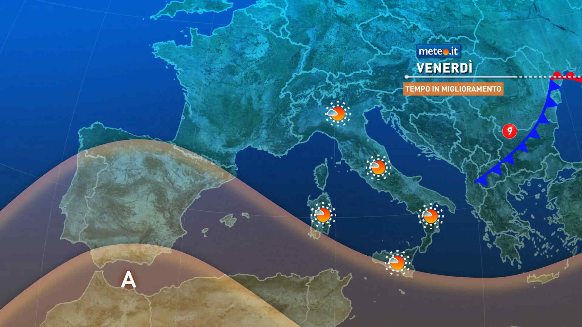
La tendenza meteo per le giornate di venerdì 20 e sabato 21 vedono un generale miglioramento con piogge quasi assenti. Domenica 22 peggioramento.
Meteo, in arrivo un treno di perturbazioni. Giovedì 19 maltempo intenso
Tendenza16 Novembre 2026
Meteo, in arrivo un treno di perturbazioni. Giovedì 19 maltempo intenso
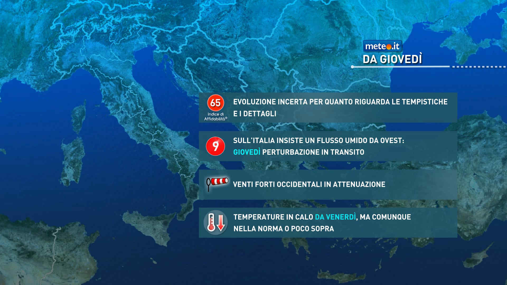
Le fasi piovose si alterneranno a temporanee finestre più stabili associate ad afflussi di aria più asciutta. Rischio di rovesci o temporali localmente forti

Mediaset

Ultimo aggiornamento Giovedì 19 Novembre ore 00:07

Copyright © 1999-2020 RTI S.p.A. Direzione Business Digital - P.Iva 03976881007 - Tutti i diritti riservati.

Rispetto ai contenuti e ai dati personali trasmessi e/o riprodotti è vietata ogni utilizzazione funzionale all'addestramento di sistemi di intelligenza artificiale generativa. È altresì fatto divieto espresso di utilizzare mezzi automatizzati di data scraping.

Per la pubblicità Mediamond S.p.a. RTI spa, Gruppo Mediaset - Sede legale: 00187 Roma Largo del Nazareno 8 - Cap. Soc. € 500.000.007,00 int. vers. - Registro delle Imprese di Roma, C.F.06921720154