FacebookInstagramXWhatsApp

Meteo Chiusa di Pesio tra 3 giorni. Previsioni del tempo, precipitazioni, temperatura e venti

FacebookWhatsappXTelegram

Chiusa di Pesio
Vento alla mattina
07:31
16:58
Gibbosa crescente
Notte
sereno notte
Mattino
soleggiato
Pomeriggio
soleggiato
Sera
sereno notte
  • 10°

    UV Normale 0

    ore

    sereno notte

    Umidità normale42%

    Raffiche forti19-32 Km/h

    Sud ovest intensoSud O

  • 10°

    UV Normale 0

    ore

    sereno notte

    Umidità normale41%

    Raffiche forti20-33 Km/h

    Sud ovest intensoSud O

  • 10°

    UV Normale 0

    ore

    sereno notte

    Umidità normale41%

    Raffiche forti21-34 Km/h

    Sud ovest intensoSud O

  • 9°

    UV Normale 0

    ore

    sereno notte

    Umidità normale41%

    Raffiche forti21-34 Km/h

    Ovest sud ovest intensoOvest SO

  • 9°

    UV Normale 0

    ore

    sereno notte

    Umidità normale41%

    Raffiche forti21-34 Km/h

    Ovest sud ovest intensoOvest SO

  • 9°

    UV Normale 0

    ore

    sereno notte

    Umidità normale41%

    Raffiche forti20-34 Km/h

    Ovest sud ovest intensoOvest SO

  • 9°

    UV Normale 0

    ore

    sereno notte

    Umidità normale40%

    Raffiche forti20-34 Km/h

    Ovest sud ovest intensoOvest SO

  • 9°

    UV Normale 1

    ore

    soleggiato

    Umidità normale40%

    Raffiche forti19-34 Km/h

    Ovest sud ovest intensoOvest SO

  • 9°

    UV Normale 2

    ore

    soleggiato

    Umidità normale39%

    Raffiche forti19-34 Km/h

    Ovest sud ovest intensoOvest SO

  • 9°

    UV Normale 2

    ore

    soleggiato

    Umidità normale39%

    Raffiche forti18-34 Km/h

    Ovest sud ovest intensoOvest SO

  • 10°

    UV Normale 3

    ore

    soleggiato

    Umidità normale38%

    Raffiche forti17-32 Km/h

    Sud ovest intensoSud O

  • 11°

    UV Normale 3

    ore

    soleggiato

    Umidità normale37%

    Raffiche forti17-30 Km/h

    Sud sud ovest intensoSud SO

  • 11°

    UV Normale 4

    ore

    soleggiato

    Umidità normale37%

    Raffiche forti16-28 Km/h

    Sud sud est intensoSud SE

  • 12°

    UV Normale 4

    ore

    soleggiato

    Umidità normale36%

    Raffiche forti15-25 Km/h

    Sud est intensoSud E

  • 13°

    UV Normale 3

    ore

    soleggiato

    Umidità normale35%

    Raffiche forti15-23 Km/h

    Est sud est intensoEst SE

  • 12°

    UV Normale 2

    ore

    soleggiato

    Umidità normale36%

    Raffiche forti14-21 Km/h

    Est nord est intensoEst NE

  • 12°

    UV Normale 1

    ore

    soleggiato

    Umidità normale38%

    Raffiche forti14-21 Km/h

    Est intensoEst

  • 11°

    UV Normale 0

    ore

    sereno notte

    Umidità normale39%

    Raffiche forti13-20 Km/h

    Est sud est intensoEst SE

  • 11°

    UV Normale 0

    ore

    sereno notte

    Umidità normale41%

    Raffiche forti13-20 Km/h

    Sud est intensoSud E

  • 10°

    UV Normale 0

    ore

    sereno notte

    Umidità normale42%

    Raffiche forti13-20 Km/h

    Sud sud est intensoSud SE

  • 10°

    UV Normale 0

    ore

    sereno notte

    Umidità normale44%

    Raffiche forti12-20 Km/h

    Sud intensoSud

  • 9°

    UV Normale 0

    ore

    sereno notte

    Umidità normale45%

    Raffiche forti12-19 Km/h

    Sud sud ovest intensoSud SO

  • 9°

    UV Normale 0

    ore

    sereno notte

    Umidità normale45%

    Raffiche forti12-20 Km/h

    Sud sud ovest intensoSud SO

  • 9°

    UV Normale 0

    ore

    sereno notte

    Umidità normale45%

    Raffiche forti12-21 Km/h

    Sud sud ovest intensoSud SO

  • 8°

    UV Normale 0

    ore

    sereno notte

    Umidità normale45%

    Raffiche forti12-22 Km/h

    Sud sud ovest intensoSud SO

Meteo provincia di Cuneo
Meteo Nord-Ovest Italia
Oggi

Al mattino cielo irregolarmente nuvoloso con le nuvole piu' compatte associate a locali precipitazioni su Valle d'Aosta, Alpi piemontesi e Levante ligure. Temperature minime stabili o in lieve aumento. Nel pomeriggio prevalenza di nuvolo con locali precipitazioni possibili lungo le Alpi con quota neve elevata, in Liguri e sulla Lombardia centro-orientale. La sera fenomeni quasi ovunque in esaurimento e tendenza ad un'attenuazione delle nuvole. Temperature massime senza grandi variazioni. Venti da moderati a forti di Libeccio sul Ligure con mare molto mosso.

Ultime newsVedi tutte


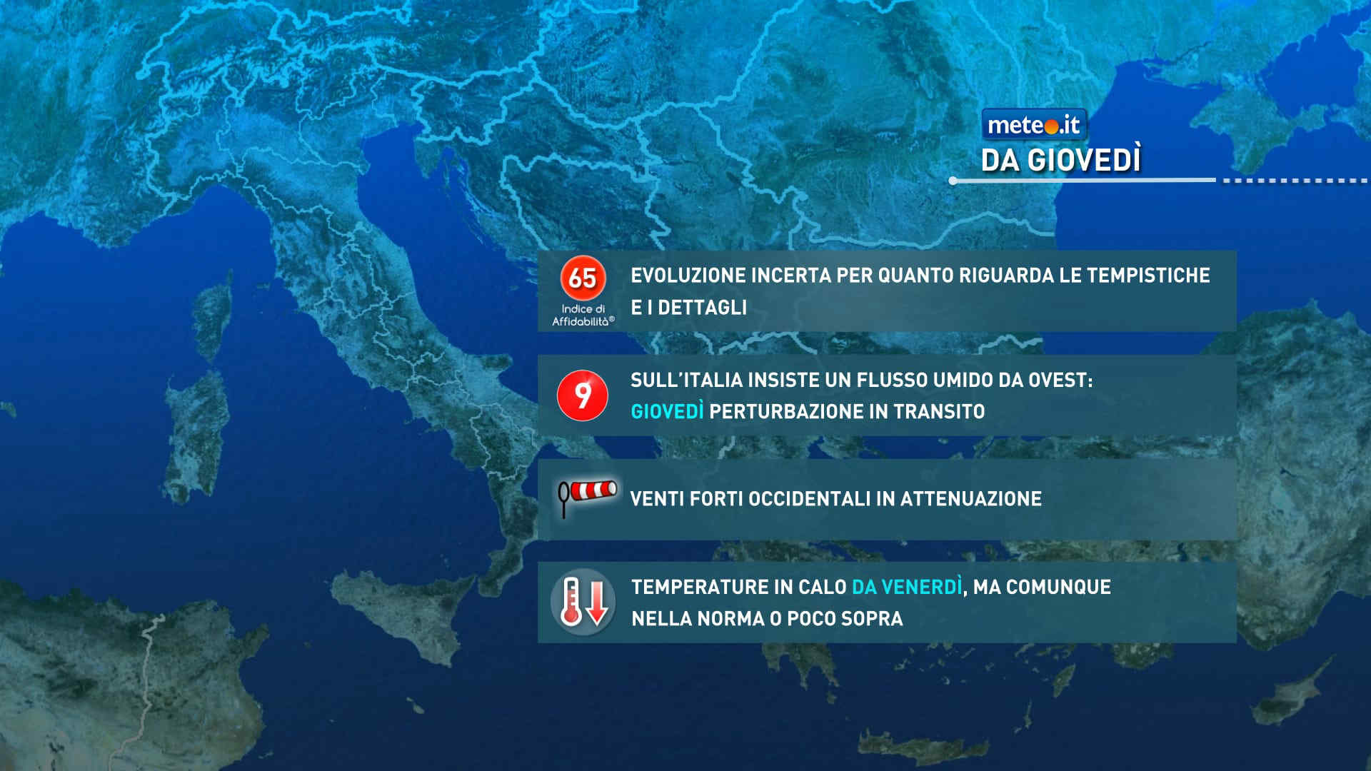
Meteo, in arrivo un treno di perturbazioni. Giovedì 19 maltempo intenso
Tendenza16 Novembre 2026
Meteo, in arrivo un treno di perturbazioni. Giovedì 19 maltempo intenso
Le fasi piovose si alterneranno a temporanee finestre più stabili associate ad afflussi di aria più asciutta. Rischio di rovesci o temporali localmente forti

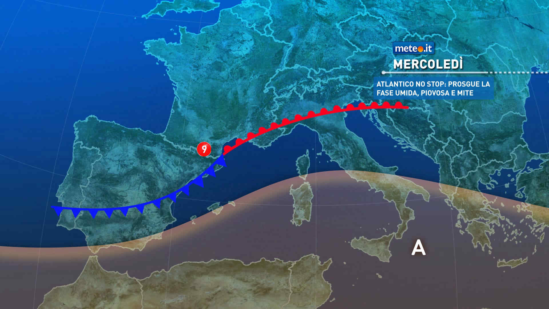
Meteo: da mercoledì 18 novembre vento forte e clima mite, in arrivo anche qualche pioggia
Tendenza15 Novembre 2026
Meteo: da mercoledì 18 novembre vento forte e clima mite, in arrivo anche qualche pioggia
L'Italia resta nel mirino di correnti umide e miti: valori oltre la norma e vento forte a metà settimana, e non mancheranno le piogge
Meteo, via vai di perturbazioni nei prossimi giorni: la tendenza da martedì 17 novembre
Tendenza14 Novembre 2026
Meteo, via vai di perturbazioni nei prossimi giorni: la tendenza da martedì 17 novembre
Italia nel mirino di diverse perturbazioni: tra martedì e venerdì ne transiteranno almeno due. La tendenza meteo nei dettagli
Mediaset

Ultimo aggiornamento Martedì 17 Novembre ore 00:46

Copyright © 1999-2020 RTI S.p.A. Direzione Business Digital - P.Iva 03976881007 - Tutti i diritti riservati.

Rispetto ai contenuti e ai dati personali trasmessi e/o riprodotti è vietata ogni utilizzazione funzionale all'addestramento di sistemi di intelligenza artificiale generativa. È altresì fatto divieto espresso di utilizzare mezzi automatizzati di data scraping.

Per la pubblicità Mediamond S.p.a. RTI spa, Gruppo Mediaset - Sede legale: 00187 Roma Largo del Nazareno 8 - Cap. Soc. € 500.000.007,00 int. vers. - Registro delle Imprese di Roma, C.F.06921720154