FacebookInstagramTwitterWhatsApp

Meteo Chardonney tra 3 giorni. Previsioni del tempo, precipitazioni, temperatura e venti

FacebookWhatsappTwitterTelegram

Chardonney
06:36
20:21
Gibbosa crescente
Notte
sereno notte
Mattino
soleggiato
Pomeriggio
prevalentemente soleggiato
Sera
sereno notte
  • -1°

    UV Normale 0

    ore

    poco nuvoloso

    Umidità normale49%

    Raffiche forti10-19 Km/h

    Nord ovest intensoNord O

  • -1°

    UV Normale 0

    ore

    poco nuvoloso

    Umidità normale49%

    Raffiche normali9-17 Km/h

    Ovest nord ovestOvest NO

  • -2°

    UV Normale 0

    ore

    sereno notte

    Umidità normale48%

    Raffiche normali8-16 Km/h

    Ovest nord ovestOvest NO

  • -2°

    UV Normale 0

    ore

    sereno notte

    Umidità normale48%

    Raffiche normali7-14 Km/h

    Ovest nord ovestOvest NO

  • -3°

    UV Normale 0

    ore

    sereno notte

    Umidità normale48%

    Raffiche normali7-14 Km/h

    Ovest nord ovestOvest NO

  • -3°

    UV Normale 0

    ore

    sereno notte

    Umidità normale48%

    Raffiche normali7-14 Km/h

    Ovest nord ovestOvest NO

  • -4°

    UV Normale 1

    ore

    soleggiato

    Umidità normale48%

    Raffiche normali7-13 Km/h

    Ovest nord ovestOvest NO

  • -2°

    UV Normale 2

    ore

    soleggiato

    Umidità normale44%

    Raffiche normali7-13 Km/h

    Ovest nord ovestOvest NO

  • UV Normale 3

    ore

    soleggiato

    Umidità normale40%

    Raffiche normali6-12 Km/h

    OvestOvest

  • UV Normale 4

    ore

    soleggiato

    Umidità normale36%

    Raffiche normali6-12 Km/h

    OvestOvest

  • UV Elevato 6

    ore

    soleggiato

    Umidità normale35%

    Raffiche normali8-14 Km/h

    Ovest nord ovestOvest NO

  • UV Elevato 7

    ore

    soleggiato

    Umidità normale35%

    Raffiche normali9-16 Km/h

    Nord ovestNord O

  • UV Elevato 8

    ore

    soleggiato

    Umidità normale34%

    Raffiche normali11-17 Km/h

    NordNord

  • UV Elevato 9

    ore

    soleggiato

    Umidità normale34%

    Raffiche forti12-19 Km/h

    Nord nord est intensoNord NE

  • UV Elevato 8

    ore

    prevalentemente soleggiato

    Umidità normale33%

    Raffiche forti14-21 Km/h

    Nord est intensoNord E

  • UV Elevato 7

    ore

    prevalentemente soleggiato

    Umidità normale33%

    Raffiche forti15-23 Km/h

    Est nord est intensoEst NE

  • 10°

    UV Elevato 6

    ore

    prevalentemente soleggiato

    Umidità normale32%

    Raffiche forti14-22 Km/h

    Est nord est intensoEst NE

  • UV Normale 4

    ore

    prevalentemente soleggiato

    Umidità normale37%

    Raffiche forti13-21 Km/h

    Est intensoEst

  • UV Normale 3

    ore

    prevalentemente soleggiato

    Umidità normale41%

    Raffiche forti12-21 Km/h

    Est intensoEst

  • UV Normale 2

    ore

    prevalentemente soleggiato

    Umidità normale46%

    Raffiche forti11-20 Km/h

    Est intensoEst

  • UV Normale 1

    ore

    soleggiato

    Umidità normale50%

    Raffiche forti10-19 Km/h

    Est intensoEst

  • UV Normale 0

    ore

    sereno notte

    Umidità normale55%

    Raffiche normali9-19 Km/h

    EstEst

  • UV Normale 0

    ore

    sereno notte

    Umidità normale57%

    Raffiche normali8-18 Km/h

    Est sud estEst SE

  • UV Normale 0

    ore

    sereno notte

    Umidità normale59%

    Raffiche normali8-18 Km/h

    Est sud estEst SE

  • UV Normale 0

    ore

    sereno notte

    Umidità normale60%

    Raffiche normali8-18 Km/h

    Est sud estEst SE

Qualità dell'aria Chardonney
AccettabileAccettabile
Qualità aria invariataInvariata
ApriDati medi giornata

O3(Ozono)

78.5

NO2(Diossido di azoto)

1.5

SO2(Anidride solforosa)

0.1

PM10(Materia particolata)

5.1

PM25(Materia particolata)

3.9

Meteo provincia di Aosta
Meteo Nord-Ovest Italia
Oggi

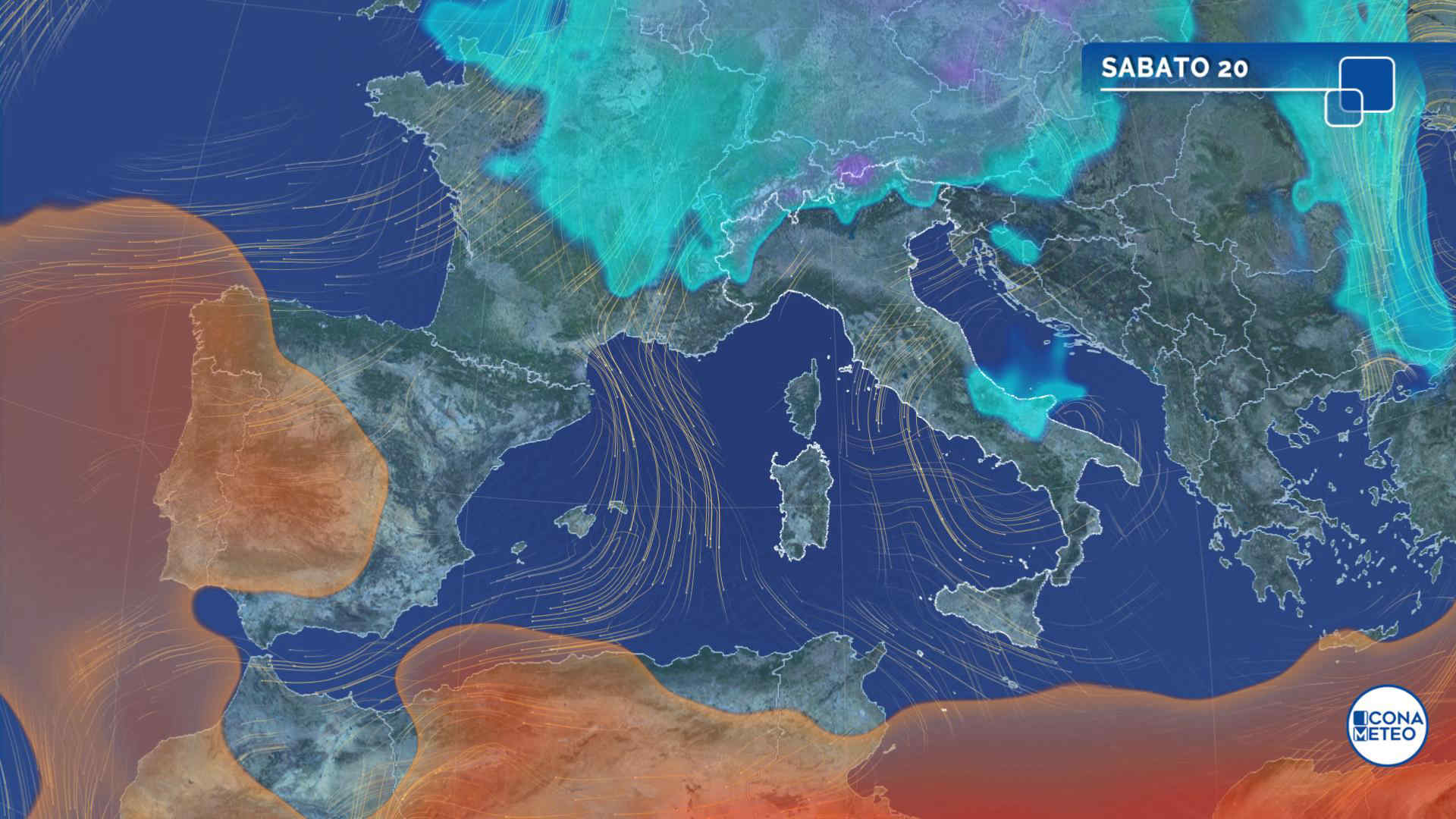
Al mattino nubi sparse in Liguria, Lombardia orientale e Alpi centrali, prevalenza di sereno altrove; qualche nevicata oltre 1200 metri nei settori di confine della Val d'Aosta. Temperature minime in calo. Nel pomeriggio tempo prevalentemente soleggiato, a parte la possibilita' di brevi rovesci nella Lombardia sud-orientale. Temperature massime in diminuzione, eccetto sulla pianura piemontese. Venti intensi per lo piu' nord-occidentali con probabile Foehn. Mar Ligure molto mosso.

Notizie
TendenzaMeteo, colpo di coda dell'inverno: da venerdì 19 clima fresco, ventoso e instabile. Arriva la neve sull'Appennino
Meteo, colpo di coda dell'inverno: da venerdì 19 clima fresco, ventoso e instabile. Arriva la neve sull'Appennino
Arriveranno diversi impulsi perturbati dal Nord Europa: il clima sarà di stampo tardo invernale per diversi giorni. La tendenza meteo
Mediaset

Ultimo aggiornamento Martedì 16 Aprile ore 20:51

Copyright © 1999-2020 RTI S.p.A. Direzione Business Digital - P.Iva 03976881007 - Tutti i diritti riservati - Per la pubblicità Mediamond S.p.a. RTI spa, Gruppo Mediaset - Sede legale: 00187 Roma Largo del Nazareno 8 - Cap. Soc. € 500.000.007,00 int. vers. - Registro delle Imprese di Roma, C.F.06921720154